Top Regional Active Transportation Priorities
The list of top regional active transportation priorities was developed in collaboration with over 20 representatives from each jurisdiction in the region and MDOT. The priorities included in the list are grounded in adopted bicycle, pedestrian, Complete Streets, and park and recreation plans. The top priorities informed Resilience 2050, can assist in cross jurisdictional collaboration and inform efforts to develop a vision for an integrated regional bicycle network. The top active transportation priorities include at least one priority in each jurisdiction in the Baltimore region, with many being cross-jurisdictional. The priorities are illustrated in this map.
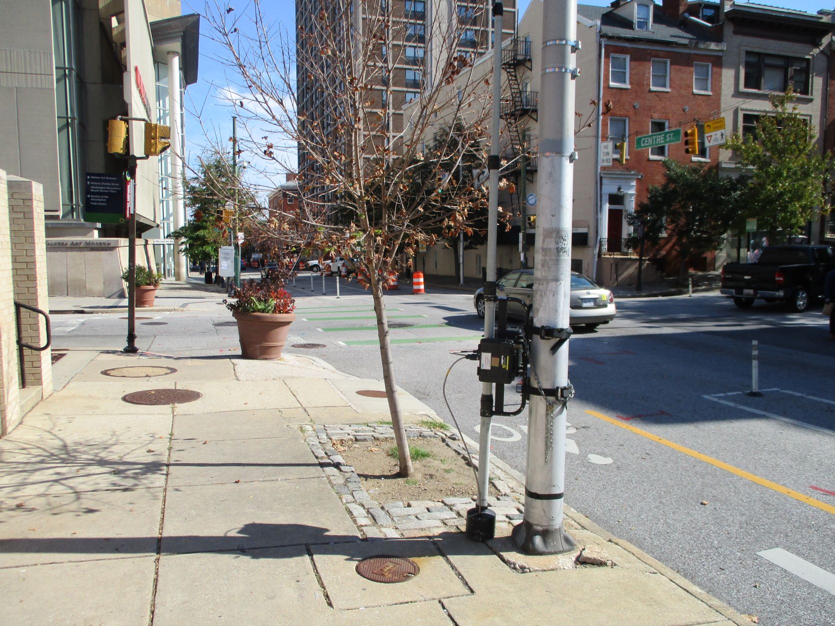
Bikeable Baltimore Region
BMC is collaborating with local jurisdiction, the state, and other stakeholders on the Bikeable Baltimore Region (BBR) project, which will identify a bike network of existing and planned bike facilities that is safe and comfortable for people of all ages and abilities. This regional bike network will benefit everyone by connecting our local communities and providing safe and equitable access to places people need to go like public transit, schools, work, and parks. Identifying a comfortable, continuous, and safe bike network made of prioritized bike facilities will ensure that funds are used where they will have the greatest impact and help cities and counties pursue federal and state funding to design and build the network more quickly.
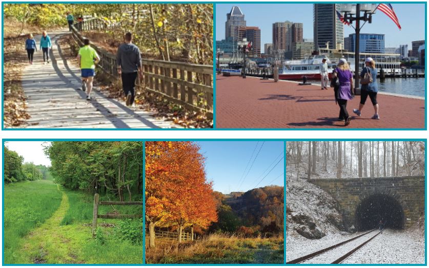
Patapsco Regional Greenway
The Patapsco Regional Greenway (PRG) Plan envisions a 40-mile, shared-use trail running through the Patapsco Valley from the Baltimore Inner Harbor to Sykesville in Carroll County. This trail, once completed, will weave together existing trails and connect communities from downtown Baltimore City all the way to Sykesville, providing for transportation and recreational activities while preserving the natural beauty of the Patapsco Valley. Click here for more information about the Patapsco Regional Greenway.
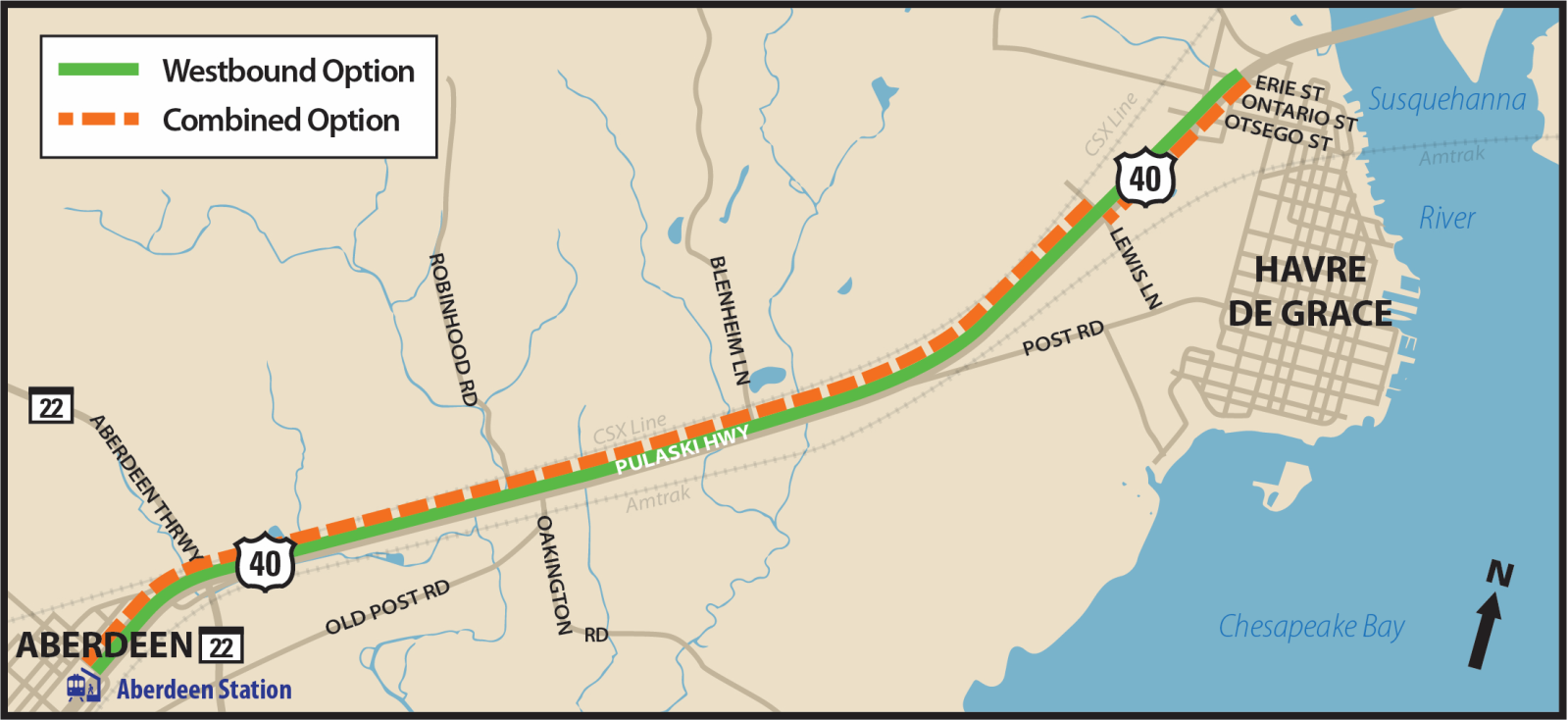
Concept Plan for Bicycle and Pedestrian Improvements along US 40 in Harford County
BMC partnered with Harford County to develop a concept plan for bicycle and pedestrian improvements along a 5-mile segment of US 40 in Harford County from the City of Aberdeen to the City of Havre de Grace. Three potential concept options were explored in the first phase with two options recommended for further study based on community feedback and design considerations. The proposed shared-use path for all options would be asphalt, 10 feet in width (8 foot minimum where necessary due to constraints) and include a grass buffer between the shared-use path and the closest edge of the roadway travel lane and would connect to transit and neighborhoods.
This concept plan will be used to develop future phases of design/construction and may be used to guide design standards for future development along the corridor.
Regional Active Transportation Count Program
BMC partners with member jurisdictions to perform weeklong bicycle, pedestrian and e-scooter counts throughout the Baltimore region. These counts help inform prioritization of active transportation improvements, track ‘before’ and ‘after’ volumes in locations with infrastructure improvements, assist with the selection of permanent count locations, contribute to safety assessments, and contribute to the statewide bicycle and pedestrian count database.