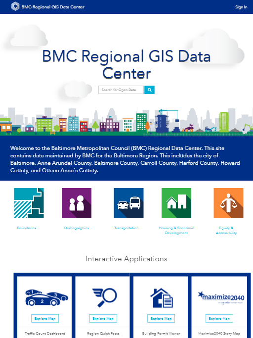
The Baltimore Metropolitan Council collects, maintains, analyzes, and reports on data from numerous sources. Geographic analysis has become an integral part of BMC projects. BMC utilizes the newest technology in support of projects including geoprocessing, modelling, maps, online interactive applications, and dashboards. Topics include demographic trends, commuting patterns, location of new housing units, and traffic travel speeds. These products illustrate the range of analytic, cartographic, and other technical capabilities of the Baltimore Metropolitan Council staff.
This Regional GIS Data Center contains data maintained by BMC and its partners for the Baltimore Region. Data can be previewed, downloaded, or accessed as a web service to consume in web applications.

